Sand Wash OHV combined routes SO FAR
| sandwash_ohv_combined_routes.kmz |
2016 DINO Tracks
|
|
| ||||||||||||||||||||
day 3 after elk springs, scroll down.lots of options.
These routes may change due to weather etc. be ready for ANY type of situation, from mud, to a bridge out. Day 2 we may have to detour. They are looking at starting on the Swinging Bridge soon, but ay not be open, so the the detour will be Taylor Flats, OR Clay Basin to Flaming Gorge and across to Jensen.
Connect North Utah BDR to North Colorado BDR Missing rock springs to evanston. THIS BY PASSES Slater to Steamboat with another route
Meeker RMAR loop--Not finished but close-- Indians and hot springs
|
| |||||||||||||||||||||||||||||
2015 Dino
|
My house to Maybell South. 75+/- miles THERE will have to be detours if rain
Friday leg TWo Maybell to Echo Park
Saturday Echo to Jensen-IF YOU WANT TO AVOID SOME SLAB LOOK DOWN BELOW FOR THE NOOB KILLER Saturday-- Jensen to Jarvie Ranch- Make your choice then. 3 corners to Lodore. Or straight east to Lodore SundayLeg 4 Lodore to Maybell via ridge path to Maybell 76 miles Lots of 2 track and ATV route. Some single easy. Sunday option Leg 4 Wild Horse tour to Maybell Maybell Then? up to you, home, Adobe town north?, Crooked Wash sourth? |
| ||||||||||||||||||||||||
|
| ||||
Temple Mtn
|
|
| ||||||||||||
Dino 2014 Day 1
GPX files
|
File 1his is my house to Maybell Colorado. We will head north through the Great Divide Area. Then South to Maybell. Two short 2 track sections. Rest is county road, some is unimproved, some is loose gravel. Last chance at fuel in Maybell. You will have a 90 mile leg to Lodore(no gas) and then 90ish more to Jensen on Sunday. This is a GOOGLE EARTH file. I will convert it for my Garmin and put that up soon.
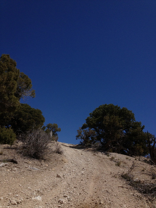
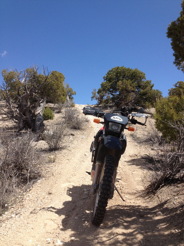
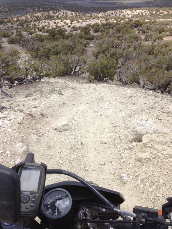
File 2 is the short US 40 section to Thournburgh Draw BLM File 3 is mainly BLM 2 track to The start of the Ridge Path New Ridge Path is a bit different than last year. Mainly at the end. dropped some county road, and added a little more two track. Has a nice overlook of Sandwash Basin. For those of you THAT DO NOT want to attempt the sandhill This is a fun ATV track. It has one short section that is down hill that is harder. May not be BIG bike friendly if you are NOT comfortable off road. Wild Horse tour, this routes you on County Road thru the basin. Go slow and watch for the ponies. I am still going to see if I can get from the ridge path to sheephead basin on all ATV track. I ran into two washouts when I scouted. I have two more to look at. | ||||||||||||||
|
|
| ||||||||||||||
| uintah_county_utah_map.pdf |
Day 2 KMZ and GPX
|
| ||||||||||||||||
^^^^^^^NOOBKILLER is an alternate that has some sand, slickrock and will get you OUT OF THE FEE TO ENTER THE PARK! Drops 10 miles of slab.
Day 3 Echo Out
|
| ||||
After Elk Springs Options
|
| ||||||||
NW Cololoop
| ||||
MISC
| jensen_to_steamboat-_250ish_miles.kmz |
Pro Leisure
My route back to Craig Sunday w
|
| ||||||||||
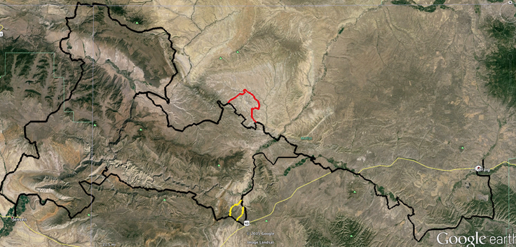
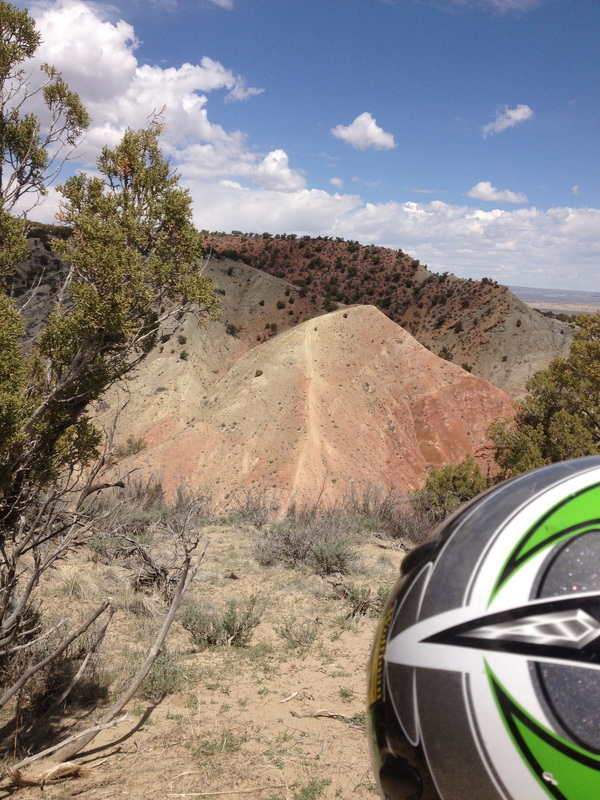
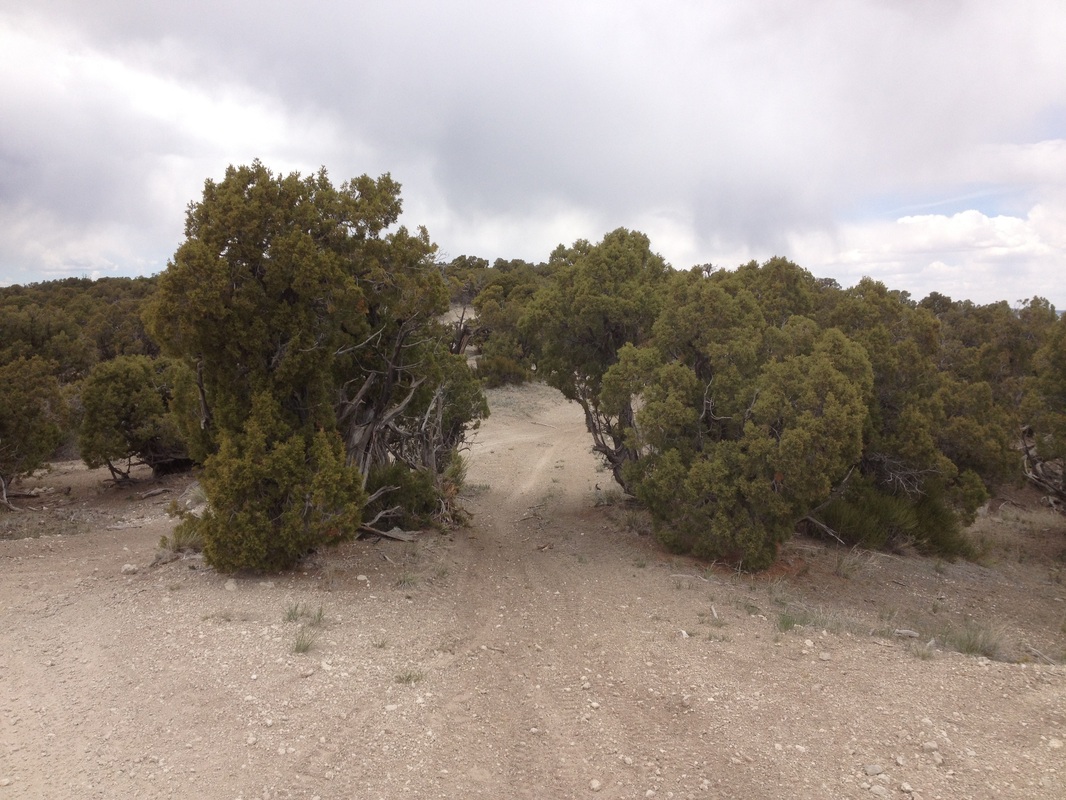
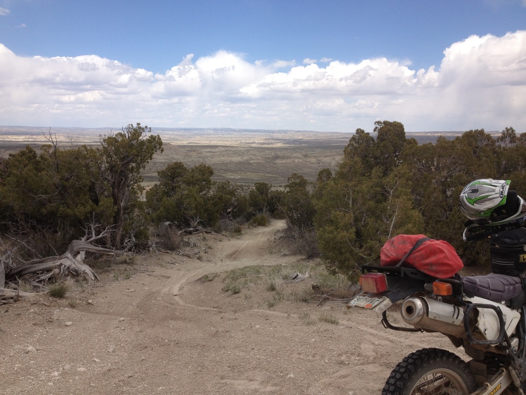
This is the ridge path


|
^^^ I have to ride this one first. I have not been on it in a few years. So take a look
|
| ||||||||||||||||||||
Craig to Lodore
|
My house to Maybell with a 14 mile backtrack to Maybell for gas. All county roads with a couple BLM fire roads thrown in. There are some roads that show up as county, that are private, so I made paths around them. Godiva rim is great views, but dropping off of it can be sketchy on a loaded bike. I suggest taking the Maybell route straight to town for gas. Riding 318 out to the 7 mile rim to G gap. EVERYTHING between 7 mile rim and G gap is the SandWash OHV area. Tracks for that are below if you want more technical. But the loop is very similiar to the Crooked Wash area last year.
|
G gap to Lodore
This one will take you way north, unless I get permission to take the Talamantes road. It is marked as county, but is private. This is REMOTE, and if wet a bitch! Neat country and you can go as fast as you like BUT the corners sneak up> This one I threw in a BLM section at the end that can get Sandy and is uphill, if you want to avoid it, just stay on county road
|
G Gap to 318 fast and easy. Some nice roads, with a couple BLM spots thrown in.
Sandwash Basin routes
| |||||||||||||||||||||||||||||||||||||||||||||||||||||||
| sheephead_basin_ridge_path.kmz |
| connect_1.kmz |
| connect_2.kmz |
| connect_3.kmz |
| connect_4.kmz |
| cr_loops.kmz |
| sandwash.kmz |
| loop_1.kmz |
| loop_2.kmz |
| loop_3.kmz |
| cr_67_thru_sandwash.kmz |
| atv_2.kmz |
| clay_buttes.kmz |
| crocket_wash_loop.kmz |
| 2_bar.kmz |
| atv_track_easy.kmz |
| sandwash2.kmz |
7 mile rim to G gap. EVERYTHING between 7 mile rim and G gap is the SandWash OHV area. Tracks for that are below if you want more technical. But the loop is very similiar to the Crooked Wash area last year. Thsi is a neat loop. Wild horse area also.
| 7_mile_rim_to_g_gap.kmz |
2 new ones
| vermillion_basin_track.kmz |
| jack_springs_path.kmz |
| little_ears_loop.kmz |
Dino Tracks Possible Steamboat to Craig and others in the Dino/Browns Park area
|
|
|
| ||||||||||||||||||||||||
Google Earth tracks most are mine but some are MinerBill's and Geeks'
Northwest Colorado
|
|
|
| ||||||||||||||||
|
|
| ||||||||
|
|
|
|
| |||||||||||||||
|
|
|
| |||||||||
Ten Mile Wash/ White Wash Dunes
|
|
|
| |||||||||
Moab
Grand Junction/Rabbit Valley
Gunnison
|
|
|
|
| ||||||||||
